10 Best Hikes in the UK
Pitch your tent, strap on your walking boots and follow the best trails in the UK. Ascend soaring peaks, pass shimmering lakes and uncover all the fascinating history that the UK has to offer. Not sure where to start? Find inspiration in our list of the best hiking trails in the UK.
1. Ben Nevis, Highlands
 Nearest campsite: Glencoe Club Site
Distance: 17km (Approx. 7-9 hours)
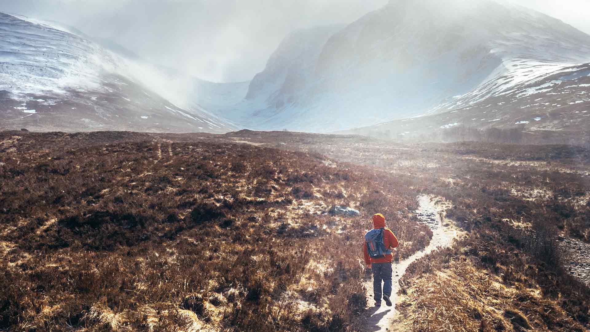
The tallest mountain on the British Isles, Ben Nevis towers above its neighbouring peaks in the Grampian Mountain Range in the Scottish Highlands. Various routes lead to the summit of Ben Nevis, however the Mountain Path is the most straightforward, albeit strenuous.
Begin your ascent at the Visitor Centre in Glen Nevis, before climbing the steep, stony pathway to the summit. It may take you anywhere between 7-9 hours to make your way to the top and back down again. Take various pauses to catch your breath, rest your muscles and marvel at the breath-taking panoramic views across the Highlands. Read the complete walking guide to Ben Nevis.
2. Hadrian’s Wall, Northumberland
 Nearest campsite: Haltwhistle Club Site
Distance: 135km (Approx. 6-7 days)
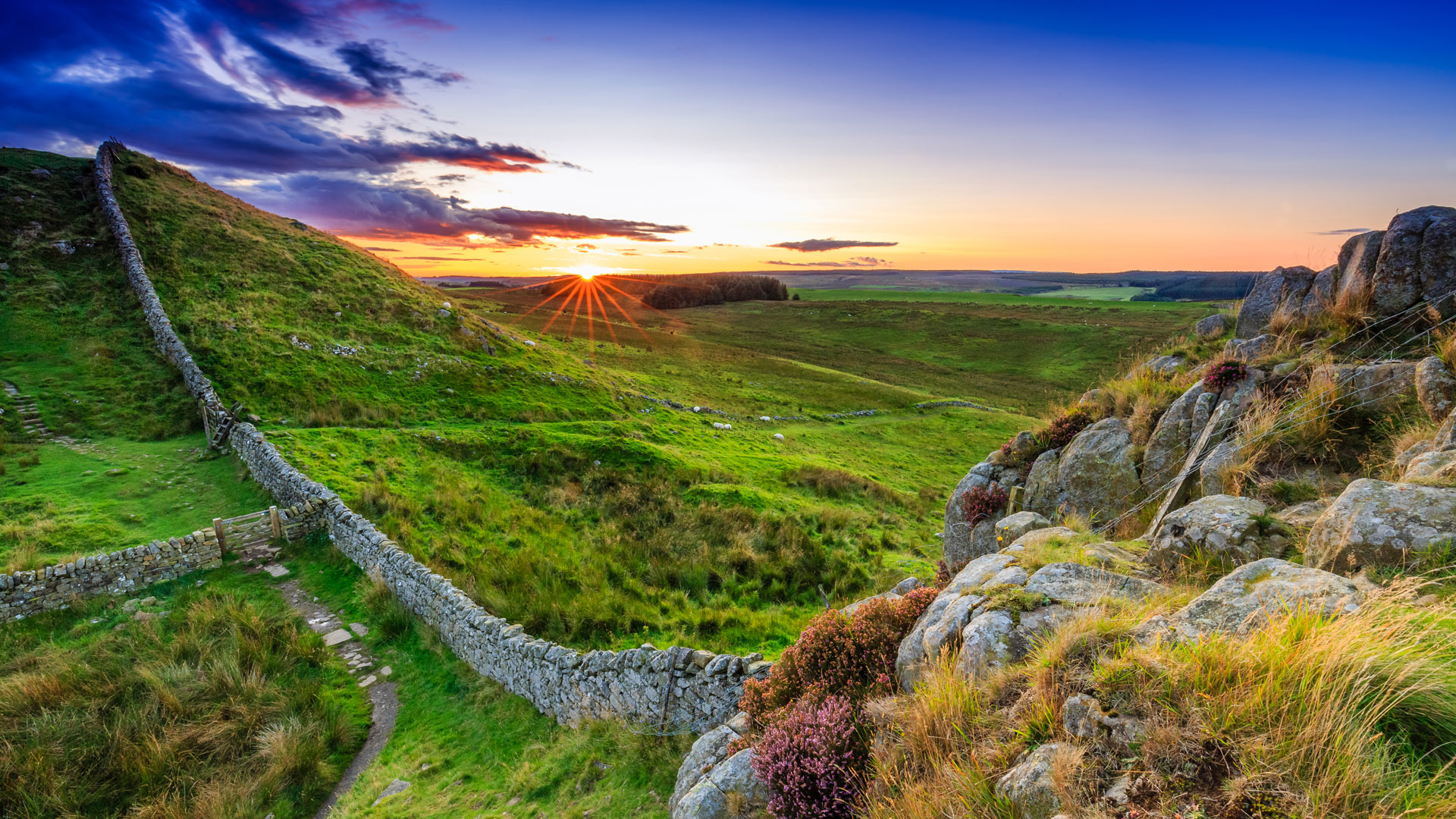
Stretching from coast to coast, from west to east for 73 miles, Hadrian’s Wall is a fascinating site and a critical part of our historical landscape. Whether you choose to walk a small portion of Hadrian’s Wall Path, or to walk along its entirety, you’re guaranteed to see idyllic villages, diverse wildlife and former Roman fortifications.
If you’re hoping to complete the whole trail, it may take you six or seven days to hike from Wallsend to Bowness-on-Solway. On your way, you’ll pass vibrant cities such as Newcastle and Carlisle. You can find the complete walking guide for Hadrian’s Wall Path here.
3. Helvellyn, Lake District
 Nearest campsite: Keswick Club Site and Derwentwater Club Site
Distance: 6.5km (Approx. 3 hours)
Arguably boasting the best views in the Lake District National Park – which is no mean feat – Helvellyn is the third highest point both in England and the Lake District. We recommend taking the route through Striding Edge, which takes roughly around 3 hours to complete. It is worth noting that this route is categorised as a 'grade one scramble' and includes difficult exposed areas - especially in wet weather.
With three Club Sites within 10 miles of Helvellyn, it’s an ideal Lakeland hike to attempt during your camping trip. You can find the complete walking guide for Helvellyn here.
4. Hope Valley, Peak District
 Nearest campsite: Hayfield Club Site
Distance: 13km (Approx. 3-4 hours)
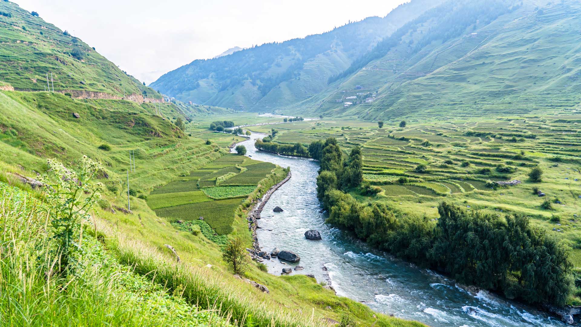
Possibly the most trodden hills in the Peak District National Park, this hike through Hope Valley has all the ingredients for a great day out – rolling hills, panoramic views, a medieval castle and a charming country pub. This route takes advantage of everything the Peak District has to offer and takes between 3 and 4 hours to complete.
Starting and ending at the Cheshire Cheese Inn in Hope, this route takes you past the intimidating Mam Tor, as well as the fascinating ruins of Peveril Castle. Stop for a cup of tea or coffee and a slice of cake at a tearoom in Castleton, or wait till you sip a well-earned drink at the end of your walk at the Cheshire Cheese. You can find the complete walking guide for Hope Valley here.
5. Lizard Coastal Walk, Cornwall
 Nearest campsite: Sennen Cove Club Site
Distance: 11km (Approx. 3 hours)
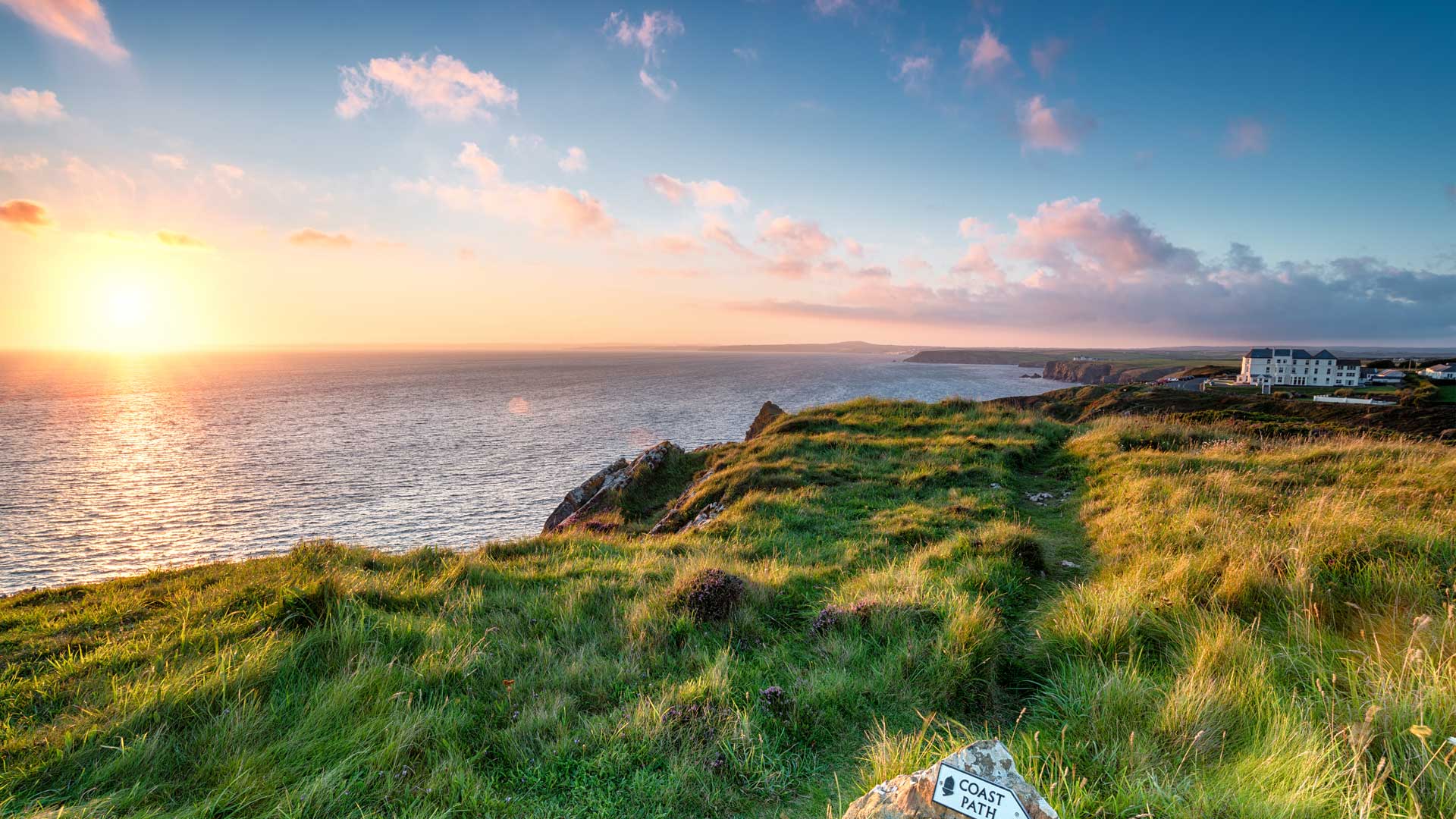
Tracing the most southerly tip of mainland Britain, this walk around the Lizard Peninsula boasts dramatic cliffs, bustling wildlife and rare geology. Due to its location and typical Cornish landscapes, this hike is very popular with tourists. Pack a lunch and make an afternoon of this route, which takes around three hours to complete.
Start your journey at Kynance Cove, a tidal beach famed for its golden sand, turquoise waves and rock formations. Follow the coastal path, pausing to see the Victorian lifeboat station at Polpeor Cove and the Lizard Lighthouse at Lizard Point, before returning to where you started at Kynance Cove. You can find the complete walking guide for the Lizard Coastal Walk here.
6. Malham Cove, Yorkshire Dales
 Nearest campsite: Clitheroe Club Site
Distance: 12km (Approx. 3 hours)
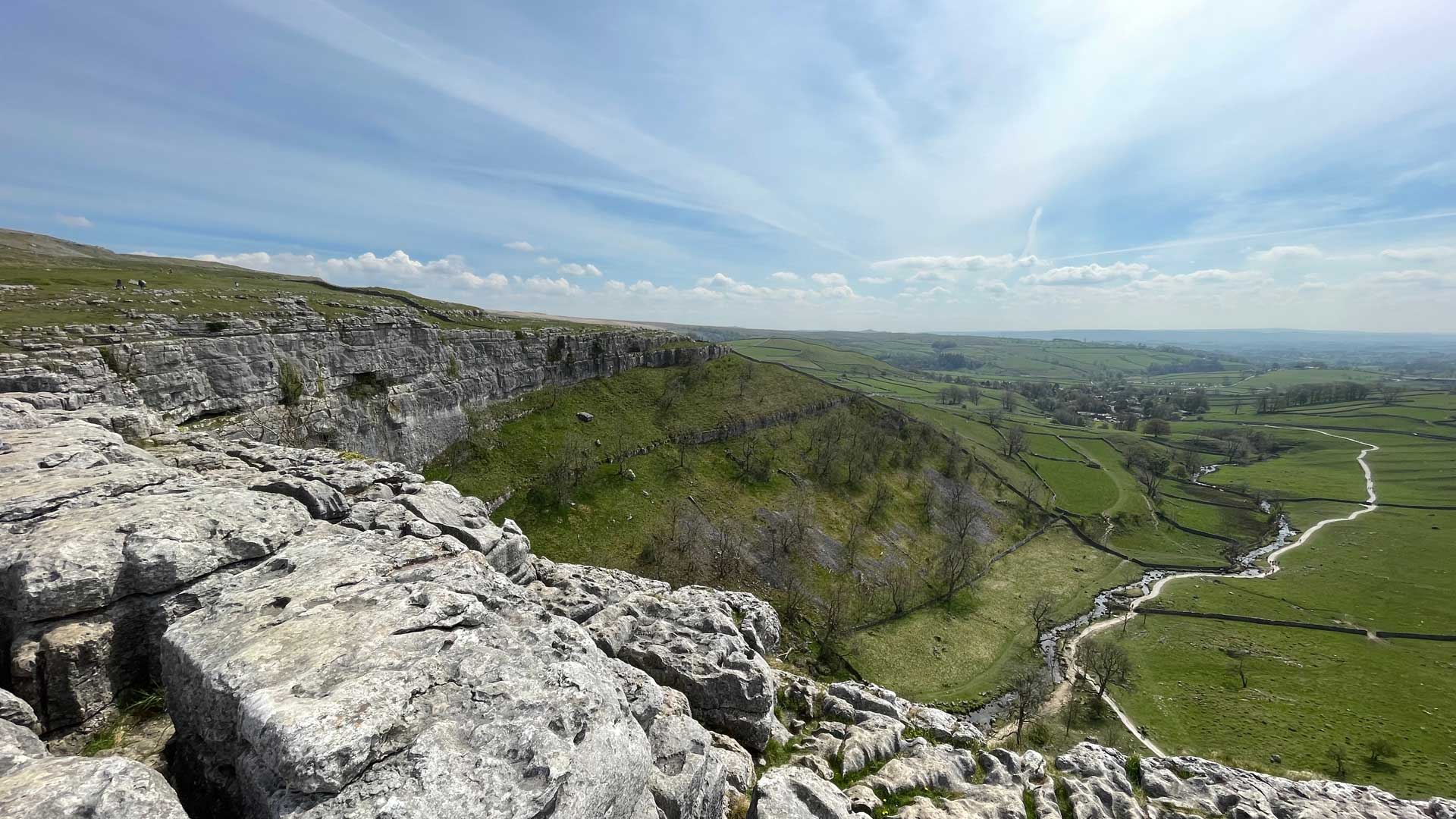
Passing two of the Yorkshire Dales National Park’s most coveted tourist destinations, this trail passes the glistening water of Malham Tarn and the rugged limestone pavement atop Malham Cove. This route offers some of the most breath-taking views of the Yorkshire Dales natural beauty and takes roughly three hours to complete.
A circular walk, this route starts at the National Park Centre in Malham, before passing over stony footbridges and through limestone dales and fairy-tale woodland. The path climbs over Gordale Scar, flanks Malham Tarn and finishes on top of Malham Cove. The cove was formed more than 12,000 years ago, at the end of the last Ice Age, and is now a popular beauty spot in the Yorkshire Dales. You can find the complete walking guide for Malham Cove here.
7. Snowdon, Wales
 Nearest campsite: Llanystumdwy Club Site
Distance: 14.5km (Approx. 6 hours)
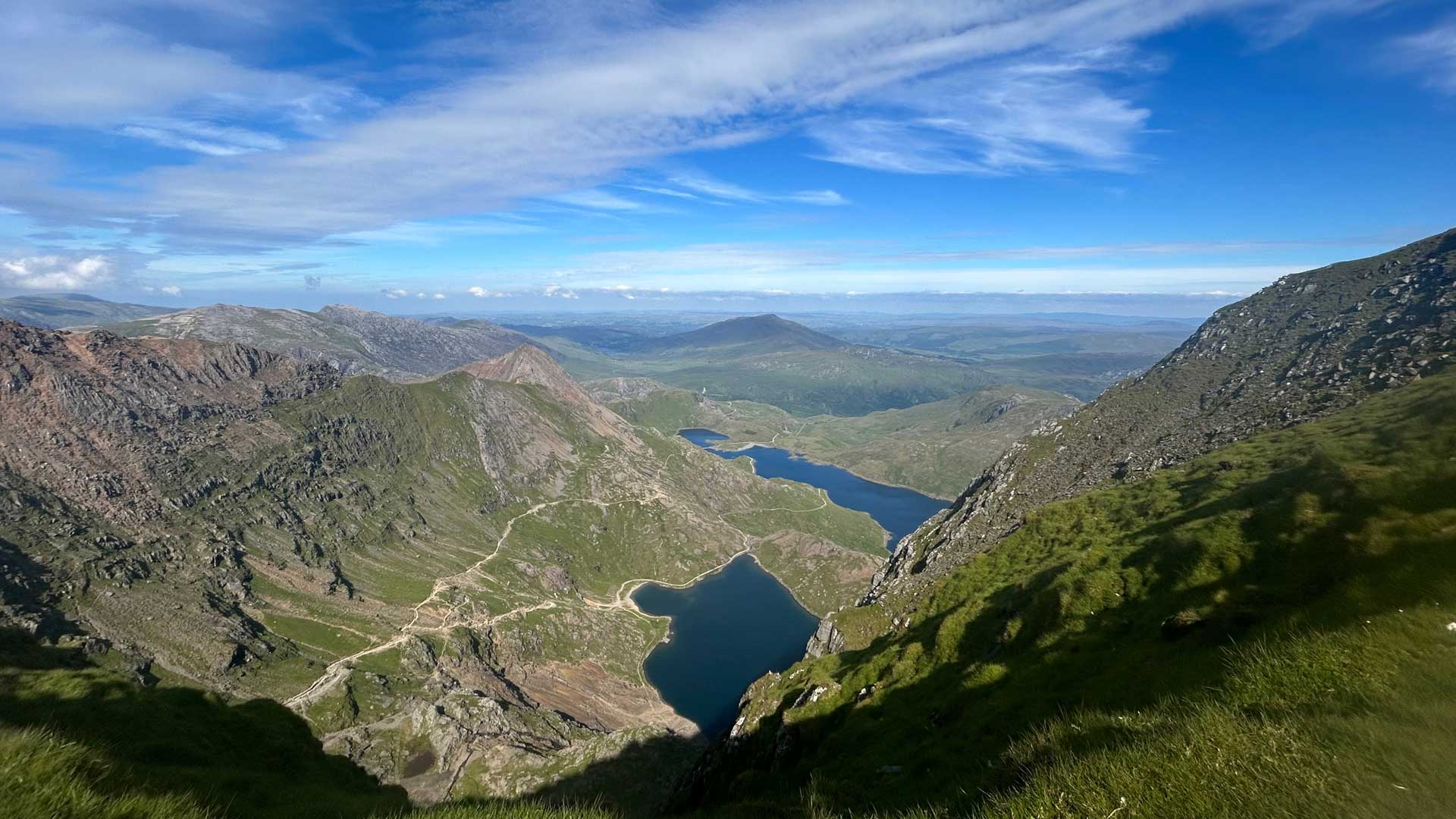
With an elevation of 1,085 metres above sea level, Snowdon is the highest mountain in Wales and a common feature on most adventurers’ bucket lists. The longest and easiest of the six main paths to the summit of Snowdon, the Llanberis Path takes around 6 hours to ascend and descend.
Starting at the far end of Victoria Terrace in Llanberis, the path mainly follows the Snowdon Mountain Railway track and boasts spectacular views of the towering peaks and iridescent lakes of the Snowdonia National Park. On a clear day, you can see as far as Ireland, Scotland and England. You can find the complete walking guide for Mount Snowdon here.
8. Old Harry Rocks, Dorset
Nearest campsite: Moreton Club Site
Distance: 5.5km (Approx. 1-2 hours)
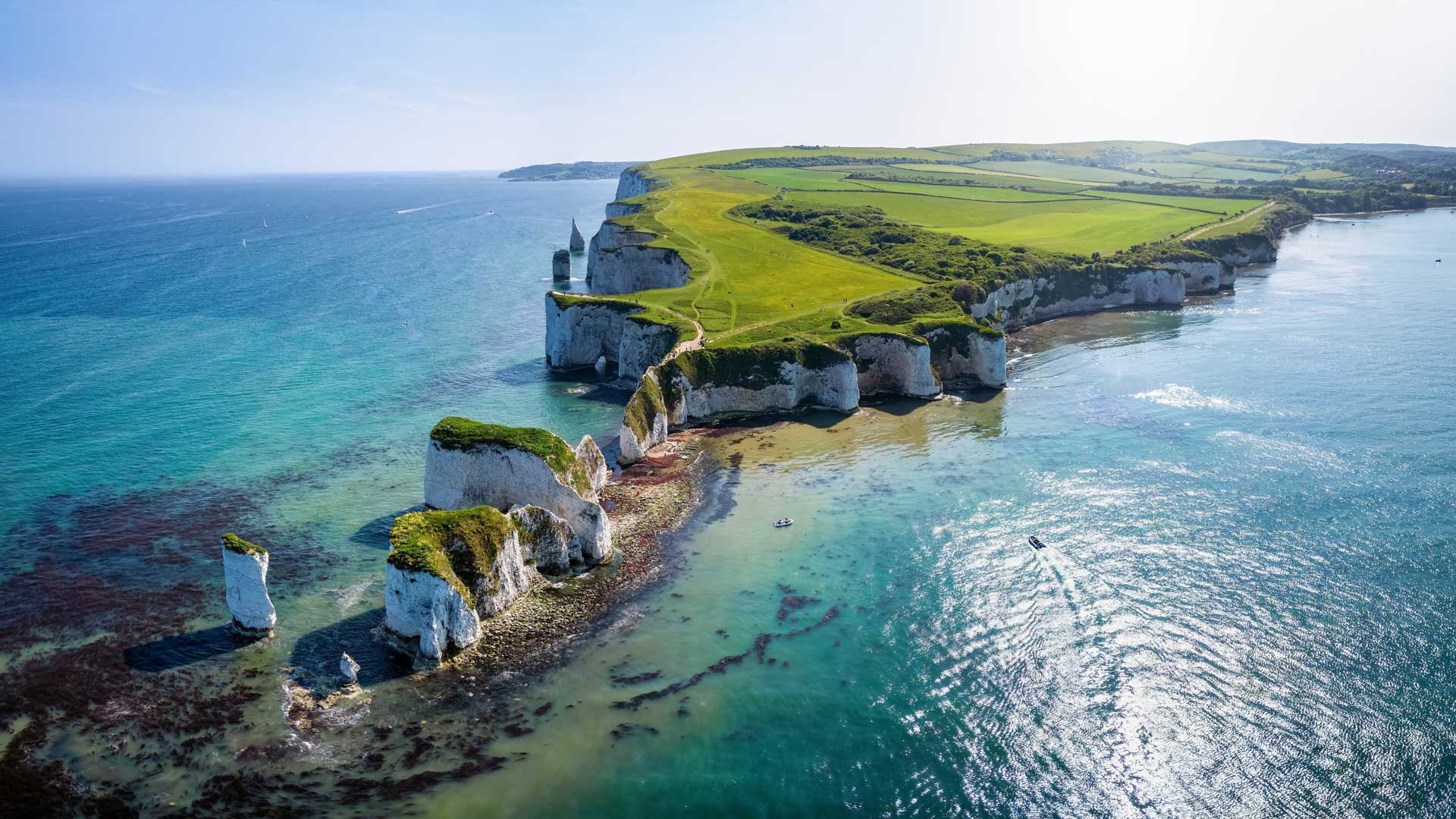
Reputedly named after Henry Paye, a smuggler from Poole who often hid his ship nearby, Old Harry Rocks are three sea stack formations at Handfast Point on the Isle of Purbeck. Following the South West Coastal Path, this section of the pathway meanders through the eastern side of the Jurassic Coast.
Beginning near a country pub, this path gently climbs over chalk cliffs, pretty farmland and includes an ideal photographic opportunity of Old Harry Rocks. Keep an eye out for swooping seabirds and make sure you leave plenty of room between yourself and the sheer cliff-edge. You can find the complete walking guide for Old Harry Rocks here.
9. Stonehenge, Wiltshire
 Nearest campsite: Salisbury Club Site
Distance: 8km (Approx. 4 hours)
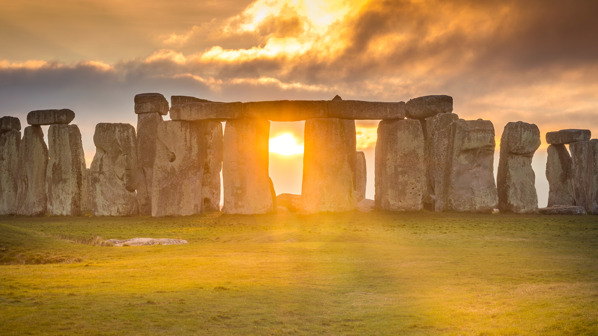
One of Britain’s most recognisable landmarks, Stonehenge is an ancient monument stepped in mystical folklore and historical importance. Exploring the entirety of the Stonehenge World Heritage Site, this route also passes Durrington Walls, a large Neolithic settlement thought to have once been the largest village in Northern Europe.
Begin your hike at the Woodhenge Car Park, pass through Durrington Walls, before passing through some fields before you arrive at the iconic stones of Stonehenge. Spend some time here to soak up all the fascinating history before retracing your steps. You can find the complete walking guide for Stonehenge here.
10. Yorkshire Three Peaks, Yorkshire Dales
Nearest campsite: Kendal Club Site
Distance: 38km (Approx. 12 hours – hopefully)
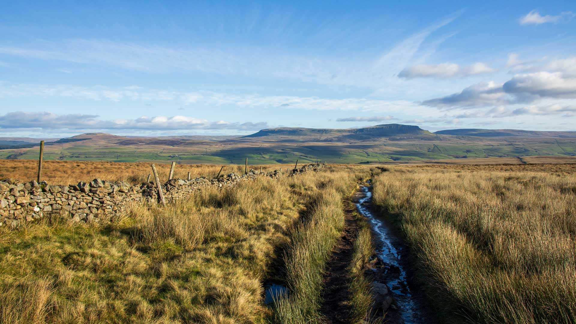
One of the country’s most testing feats, the Yorkshire Three Peaks Challenge invites hikers to tackle three imposing Yorkshire peaks in less than twelve hours. The full route covers over 24 miles and a total ascent of over 5000 feet, climbing the peaks of Pen-y-Ghent, Whernside and Ingleborough – usually in this order.
The Yorkshire Three Peaks Challenge is a gruelling test of stamina and determination, but challengers are rewarded with fantastic views of the surrounding Yorkshire Dales. The route is circular and can be started and finished from Horton-in-Ribblesdale, Ribblehead or Chapel le Dale. You can find the complete walking guide for the Yorkshire Three Peaks here.
